The
|
|
Welcome to my independent research project on
at
- Contents of this page
- related pages on this site
- related pages on other sites
- Home page and full site index
- Recommended OS Maps
- page last updated: 23 Sep 2025
- Please "refresh"/"reload" page
Your computer stores images of webpages you visit in a "cache". When you re-visit, the stored page may be displayed. To see if it has changed, click the "refresh" or "reload" icon at top of screen. Designs/colours vary, examples:


- Copywright, acknowledgements
- Can you correct/add anything?
| The Ouse Washes Website Welches Dam Area |
from Kelly's PO Directories
Population and area of Welches Dam Parish
1861: 132; area c 3,000 acres
1891: 141; area 2310 acres. No church, school or PO, but there was a Wesylan chapel and a pub, Victoria.
1911: 156: area 2355 acres & 33 of water
1909 a mission church, St.Eanswythe, was built
1861: 132; area c 3,000 acres
1891: 141; area 2310 acres. No church, school or PO, but there was a Wesylan chapel and a pub, Victoria.
1911: 156: area 2355 acres & 33 of water
1909 a mission church, St.Eanswythe, was built
Welches Dam Area
Introduction
Welches Dam is an area in Cambridgeshire, England, alongside the Old Bedford, Counter Drain and Delph rivers. Once a civil parish, it is now part of the parish of Manea.It takes its name from a dam that was built here in 1651 when a channel called the Forty Foot or Vermuyden's Drain was cut to drain water from Ramsey into the Old Bedford River.
There hasn't been an actual dam for perhaps 250 years (lots of suposition but little evidence), but there are two pumping stations (yes!) a few houses (four, I think), a disused lock, several bridges and a large nature reserve run by the RSPB and Wildlife Trusts.
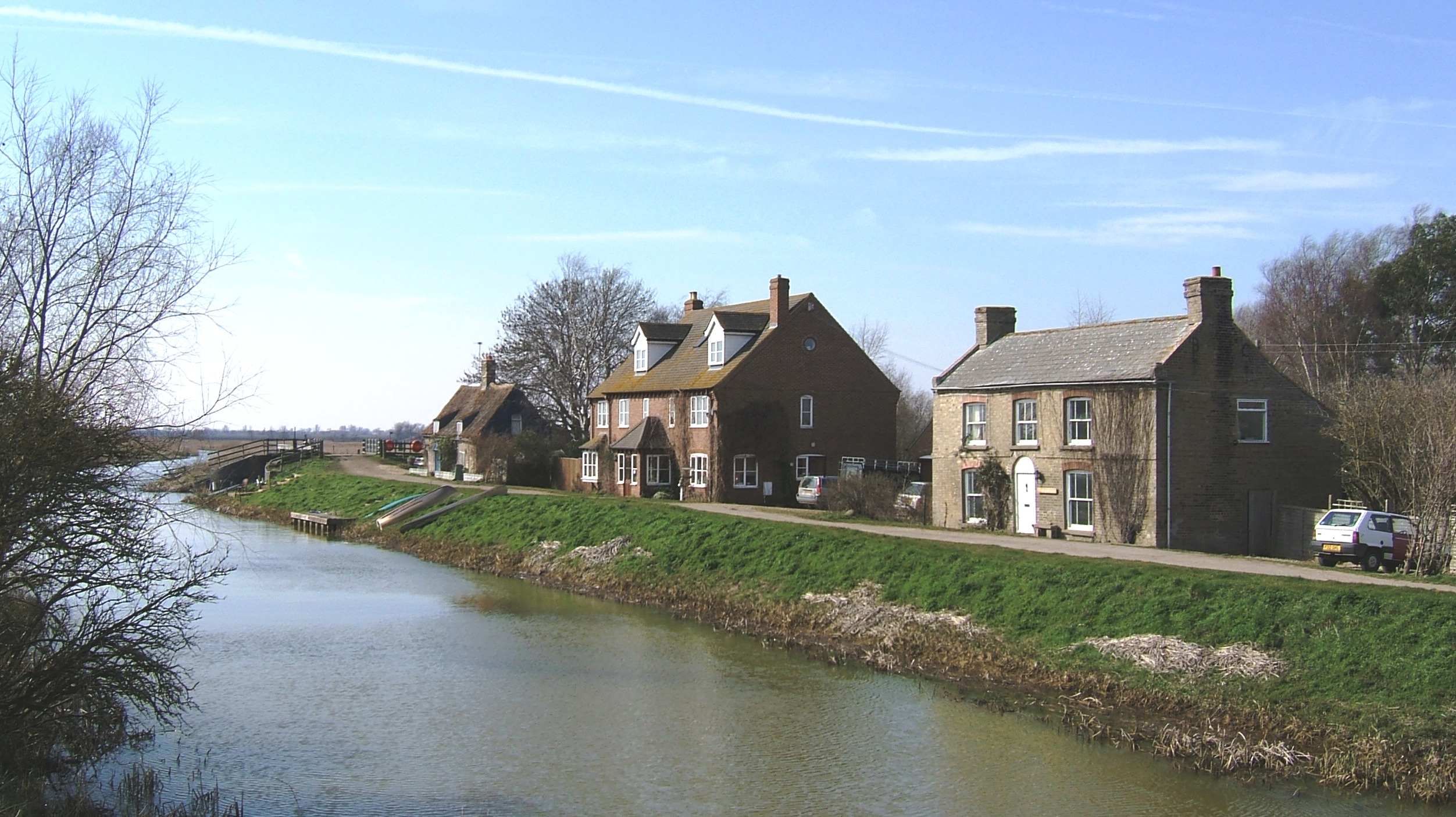
Photo: EE, March 2006
The west bank of the Counter Drain looking South. From left to right: in the distance is the lock entrance with a bridge over it; next is the quaint old Lock-keepers Cottage. In Victorian times once a Pub. A property named "The Three Fishers"is shown on modern OS maps used by planning authorities. Property last sold in 1998; then Adventurers House, a private house built in 1972; nearest is a house named Princess Victoria, also once a pub, now an RSPB Wardens home. The Pub was refered to on a Victorian OS map as "Queen Victoria"
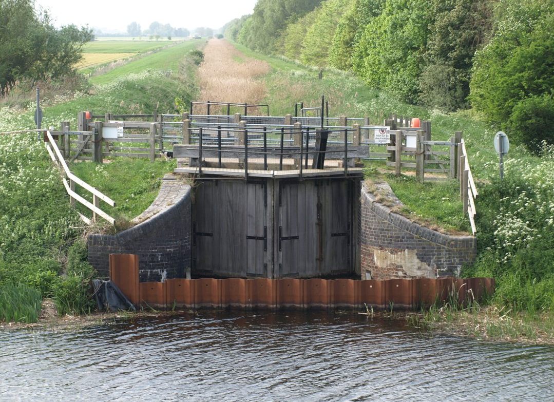 Photo: EE, Apr 2011
 Dam
In the 1650s the Old Bedford River was cut in two by a dam just south of where the Forty Foot River, aka Vermuyden's Drain, joins it. Samuel Wells, Register of the BLC, wrote in 1830 that the dam was made to turn the water of the Forty Foot (cut in 1651) towards Salters Lode.Prof. Darby also says in his later work that Welches Dam seems to have been named after Edmund Welch, an official of BLC, and it is mentioned in the BLC Minutes and Accounts for the 1650s [yet the BLC was not incorporated until 1663!]
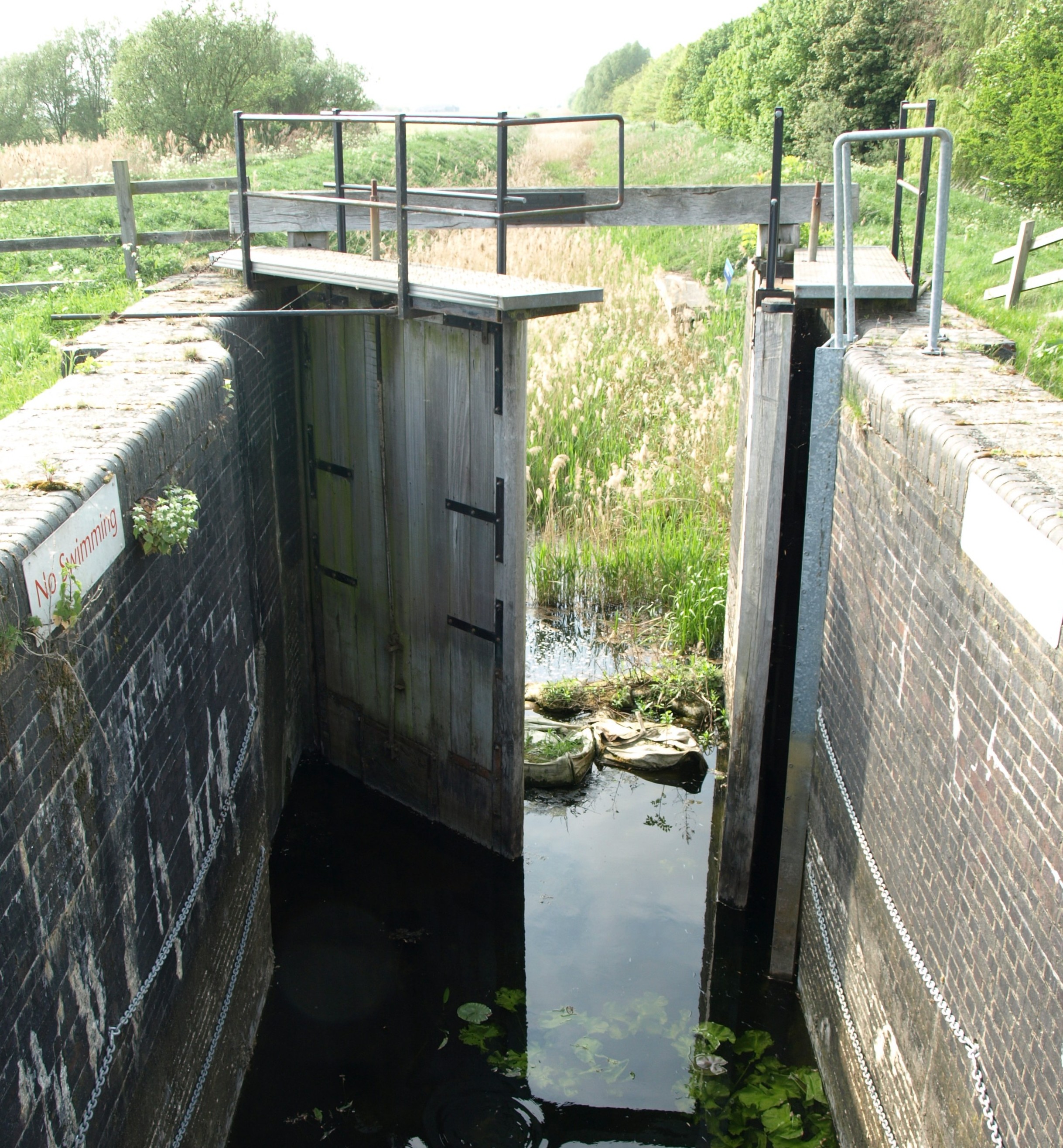
Inner gates, one open, one closed
 They've missed out "No Boating"
The words "Welches Dam" have been taped over the original "Forty Foot"
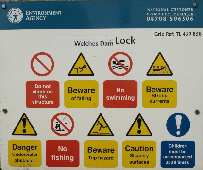
Lock
Photo: EE, Apr 2011 The original lock was built in 1651 when Vermuyden dug the Forty Foot Drain, aka Vermuyden's Drain, (top of photo, now overgrown with reeds) from Ramsey to here to drain waters from the Middle Level into the Old Bedford River (bottom of photo) thence to sea via the Old Bedford Sluice at Salters Lode and the Great Ouse River.
Known as the Forty Foot Lock, it was rebuilt in 1991 by the National Rivers Authority (NRA). Since 1997 is has been owned by the NRA's successors, the Environment Agency (EA) which now calls it Welches Dam Lock.
In 1996 an NRA report stated that high seepage losses of water in the Forty Foot River made it impractical to keep the channel open for navigation at all times. Entry into the Forty Foot from the OBR would be arranged in agreement with the Inland Waterways Association (IWA) on about 20 week-ends a year, assuming sufficient water available [from the OBR ?] to fill it.
It was still navigable, with difficulty, in 2001 - see Tuesday Night Club cruise page for full report on a trip from the 16 Ft Drain to the Old Bedford with lots of photos. However a few years later the lock was sealed off with steel piles, and so it remains today.
Bridges
This section is still to be written.Pumping Station
This section is still to be written.Transfer Station
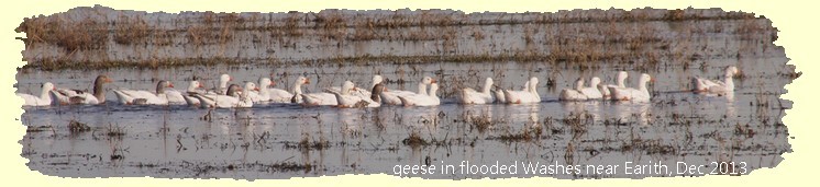
This item now has a page of its own, see Middle Level Transfer SchemeRSPB
Bends in Rivers and Banks
Prof. HC Darby, in his 1956 book The Draining of the Fens (2nd Ed) said on page 74 thathe had been unable to find any early reference to the bend in the Old Bedford River at Welches Dam. He said CN Cole's map of the Bedford Level (1789) shows it as a straight line with, apparently, a bank across the river at Welches Dam. RG Baker's map of Cambridgeshire (1821) shows a bend in two parallel rivers.On p187 Darby says that S Wells referred in 1821 to "The Delph or Thiry Feet [drain]". Darby says the history of that it is obscure, but it was subsequent to the Bedford Rivers. Writing in 1983 Prof Darby says in The Changing Fenland, that Vermuyden didn't mention Welches Dam in either his Discourse of 1642 nor his statement in 1653, and Dugdale did not mention it in his 1662 Diaries. On p 82 Prof Darby shows a map with a caption dating it as "1706?" which he says is Jonas Moore's map, showing the Old Bedford cut in two with a second river [which we know as the Delph] joined on to the southern part of the OBR, then running parallel to the northern section. Although not clear on the map, it could be assumed that the water from the Forty Foot drain flowed into the northern section of the OBR, thence to Salters Lode.
Moore had been a surveyor on the drainage works from 1650-1657 and published his map in 1658. The dam is shown as "Welsh's" Dam. He died in 1679 and later editions of the map may have been added to by others.
In 1830 Samuel Wells, Register of the BLC, said the dam was made to turn the water of the Forty Foot Drain (cut in 1651) towards Salters Lode when it entered the OBR at what has subsequently been known as Welches Dam. At some later stage between then and the 1750s (no one seems to know for sure) a new river, the Thirty Foot or Delph, was cut from Welches Dam running north to the east of the Old Bedford. It was joined on to the cut off southern section of the OBR just south of the dam, the running alongside and to the east of the Old Bedford for several miles before veering across the Washes to Welmore Lake Sluice from where it joins the New Bedford River (NBR).